EarthByte Lab

Harnessing Geospatial Intelligence for a Sustainable Future

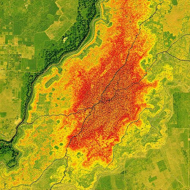
At EarthByte Lab LLC, we help businesses, researchers, and policymakers make smarter, data-driven decisions using cutting-edge remote sensing, AI, and GIS solutions.

🌍 What We Do

πŸ“‘ Geospatial Consulting
Custom GIS solutions for land management, precision agriculture, and environmental monitoring.
πŸ›°οΈ Satellite Data Analytics
Transforming Sentinel, Landsat, and drone imagery into actionable insights.
☁️ Google Earth Engine (GEE) Development
Scalable, cloud-based geospatial workflows.
πŸ”₯ Wildfire and Climate Impact Assessments
Mapping burn severity, drought, and ecosystem changes.
πŸ€– Machine Learning for Remote Sensing
AI-driven insights for land use, water, and sustainability.
πŸŽ“ Geospatial Education & Training
Helping professionals and teams master GIS, remote sensing, and Earth observation.

🌱 Why Work With Us?

10+ years of expertise
Geospatial technology and environmental analytics.
Innovative solutions
Powered by AI, remote sensing, and cloud computing.
Impact-driven
Innovative approach for a sustainable, data-informed future.

πŸ“© Let’s Collaborate!

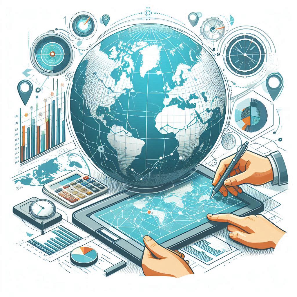
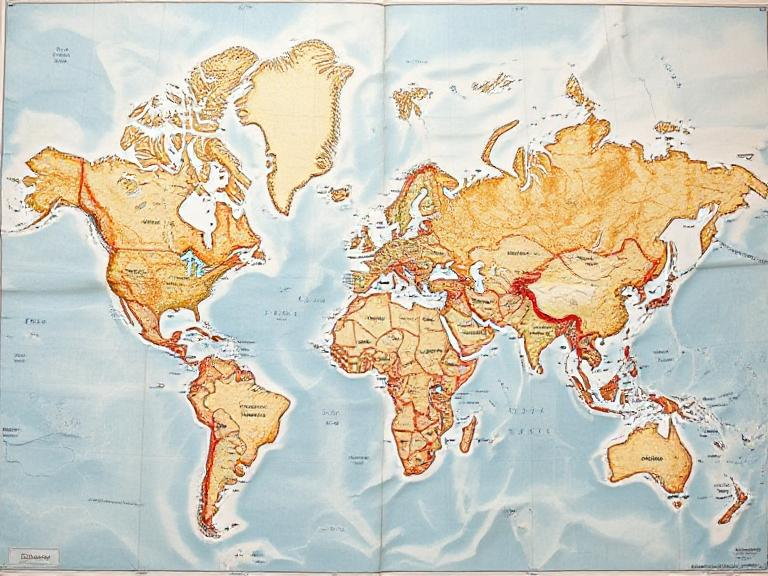
We help organizations transform geospatial data into meaningful impact.
Whether through analytics, satellite-based monitoring, or hands-on training,
we’re here to support your mission.

If you’re working on challenges in agriculture, climate resilience,
or environmental monitoring, let’s collaborate!

This form is protected by Cloudflare Turnstile to prevent spam. No third-party cookies are used.